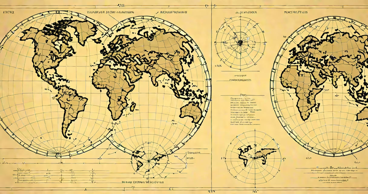
Converting lat long to northing easting transforms geographic coordinates (latitude and longitude) into a planar grid system using Universal Transverse Mercator (UTM) zones. This process assigns east-west (easting) and north-south (northing) values in meters, enabling accurate distance and area calculations on flat maps.
Geographic coordinates define locations on Earth's surface using angular measurements. Latitude ranges from -90° to +90°, measured from the equator. Longitude spans -180° to +180°, measured from the prime meridian. These values are spherical and unsuitable for direct measurement of distances or areas on flat surfaces.
UTM divides the Earth into 60 longitudinal zones, each 6 degrees wide, numbered 1 to 60 starting at 180°W. Each zone uses a transverse Mercator projection, minimizing distortion within that zone. The conversion applies a mathematical algorithm based on the WGS84 ellipsoid model, which defines Earth's shape. For example, a point at 40.7128° N, 74.0060° W (New York City) falls in UTM Zone 18T. Applying the UTM formula yields an easting of approximately 583,717 meters and a northing of 4,504,047 meters.
The transformation from lat long to northing easting involves multiple steps. First, determine the correct UTM zone based on longitude. Each zone has a central meridian, and the projection stretches coordinates around this line. The algorithm accounts for Earth's curvature using the WGS84 ellipsoid parameters: semi-major axis of 6,378,137 meters and flattening of 1/298.257223563.
Next, apply the forward UTM equations. These include calculating the scale factor (typically 0.9996), false easting (500,000 meters to avoid negative values), and false northing (10,000,000 meters in southern hemisphere zones). The result is a Cartesian coordinate pair in meters relative to the zone's origin.
For accuracy, software tools such as GDAL, PROJ, or Python libraries like pyproj handle the math automatically. Manual calculation requires solving complex trigonometric formulas involving eccentricity, meridional arc length, and convergence angles. Even small errors in input values or zone selection produce significant displacement-up to several hundred meters off in adjacent zones.
UTM is the most common method for converting lat long to northing easting. It offers high precision within its 6-degree zones and is widely adopted in GIS, surveying, and military applications. Other systems include State Plane Coordinates (used in the U.S.) and British National Grid (UK), both tailored to national boundaries.
| System | Zone Width | False Easting (m) | False Northing (m) | Best For |
|---|---|---|---|---|
| UTM | 6° longitude | 500,000 | 0 (north), 10,000,000 (south) | Global, consistent precision |
| State Plane (USA) | Varies by state | 500,000 or 2,000,000 | 0 or 1,000,000 | High-accuracy local surveys |
| British National Grid | 1° longitude | 400,000 | 100,000 | UK land mapping |
Each system balances accuracy, simplicity, and regional relevance. UTM remains preferred for international projects due to its standardized structure and broad support in geospatial software.
A frequent error is applying UTM conversion outside the designated zone. A point in Zone 18T near New York will have drastically different values if incorrectly projected into Zone 19T. This causes horizontal shifts exceeding 100 kilometers in extreme cases. Always verify the zone before conversion.
Another misconception is assuming northing easting values are absolute. They are relative to the zone's origin. The same northing value can appear in multiple zones. For example, a northing of 4,500,000 meters exists in both northern and southern hemispheres, but with different meanings.
Some assume that converting lat long to northing easting eliminates all distortion. This is false. UTM minimizes distortion within its 6-degree bands but still introduces stretching beyond them. Over large areas, cumulative error becomes significant. For regional analysis, using a local projection tailored to the study area reduces error.
Surveyors use convert lat long to northing easting to establish property boundaries. GPS receivers output lat long, but field instruments measure distances in meters. Converting to UTM allows direct plotting on site plans. In construction, this enables precise alignment of foundations and utility routes.
Emergency response teams rely on UTM coordinates for rapid location sharing. During the 2018 California wildfires, incident command centers used UTM grids to assign resources and track fire spread. Coordinates were shared via radio using four-digit easting and northing pairs, reducing confusion compared to decimal degrees.
I once used this process during a hiking trip in the Swiss Alps. My GPS device showed coordinates in WGS84. I converted them to UTM Zone 32N using a mobile app. The resulting easting and northing values matched the topographic map's grid lines exactly, allowing me to plot my route with confidence. Without the conversion, I'd have struggled to align the GPS position with the map's metric grid.
Tools like QGIS, ArcGIS, and online converters such as movable-type.co.uk provide accurate conversions. These platforms validate inputs and warn about zone mismatches. For automation, Python scripts using the pyproj library execute the transformation with minimal code:
from pyproj import Transformer
transformer = Transformer.from_crs("EPSG:4326", "EPSG:32632", always_xy=True)
easting, northing = transformer.change(-74.0060, 40.7128)
print(f"Easting: {easting:.2f}, Northing: {northing:.2f}")
# Output: Easting: 583717.48, Northing: 4504047.39
According to the National Geodetic Survey (NGS), UTM transformations must account for datum shifts when moving between WGS84 and older datums like NAD83. Failing to do so introduces offsets of up to 1 meter in some regions.
Understanding how to convert lat long to northing easting is essential for anyone working with spatial data. It enables accurate measurement, planning, and communication across disciplines-from urban design to environmental monitoring. The process is not just mathematical-it's foundational to how we represent Earth's surface on flat maps.