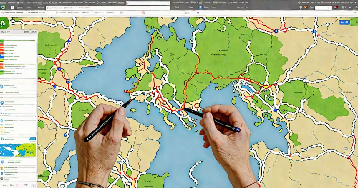
An online map maker is a web-based tool that enables users to design, edit, and publish custom maps without installing desktop software. These tools support geospatial data input, layer management, and sharing via link or embed code. They're used for navigation, storytelling, business planning, and education.
These platforms run entirely in your browser. You don't download or install anything. Just open a tab, sign in (if required), and start drawing routes, adding pins, or importing location data. The interface typically includes a base map layer-like satellite imagery or road networks-and tools to overlay custom shapes, labels, and icons.
For example, a teacher might use an online map maker to plot historical battle sites across Europe. A small business owner could map customer locations to analyze regional sales patterns. Both tasks require only a web connection and basic familiarity with drag-and-drop interfaces.
Online map makers process geographic coordinates (latitude and longitude) and translate them into visual elements on a map. When you place a pin at 40.7128° N, 74.0060° W, the tool plots it over New York City on the base map. You can then label it "Central Park" or attach a photo, video, or description.
Data integration is key. Most tools accept CSV files, KML/KMZ formats, or direct entry of addresses. For instance, uploading a list of 150 store locations in Excel format auto-plots them on the map. The system parses the address field, resolves it to coordinates via geocoding, and places markers accordingly.
Real-time collaboration features exist in advanced versions. Multiple users can edit the same map simultaneously. Changes appear instantly. This capability supports team projects such as urban planning initiatives or event logistics coordination.
Online map makers fall into three categories based on complexity and purpose:
| Type | Use Case | Key Features | Examples |
|---|---|---|---|
| Basic | Personal use, quick visualizations | Drag-and-drop pins, simple layers, public sharing | Google My Maps, Mapme |
| Intermediate | Business analysis, project tracking | CSV import, custom styling, export options | Mapbox Studio, ArcGIS Online |
| Advanced | Development, enterprise systems | API access, custom widgets, scripting | Leaflet.js, Carto |
Basic tools suit casual users. Google My Maps allows anyone with a Gmail account to create a map in under five minutes. Add a few pins, color-code them by category, and share the link. No coding required.
Intermediate tools handle larger datasets. With Mapbox Studio, you can upload a CSV file containing 5,000 addresses, assign colors based on sales volume, and generate a heat map showing high-density zones. You can also export the result as a PNG or embed it in a website.
Advanced platforms serve developers and organizations needing automation. Using the Mapbox API, a developer can pull live traffic data and update a map every 30 seconds. This level of customization requires programming knowledge and often involves server-side logic.
Many assume online map makers are limited to simple point-and-click designs. In reality, they support complex spatial analysis. For example, you can calculate distances between points, measure area within polygons, or determine proximity to specific zones.
Another error is equating online map makers with GIS software. While both handle geographic data, GIS tools like QGIS or ArcGIS Pro offer deeper analytical functions-such as terrain modeling or predictive spatial forecasting. An online map maker is not a replacement for those systems but serves a different role: rapid visualization and communication.
A lesser-known fact: most free online map makers retain ownership of your data. If you publish a map publicly, the platform may index it and use it for training AI models. Always check the terms of service. According to the Electronic Frontier Foundation, some platforms reuse user-generated map data for commercial purposes without explicit consent.
Use an online map maker when you need to communicate location-based information quickly and. For instance, a nonprofit organizing disaster relief efforts used an online map maker to track supply drop points across a flood-affected region. Volunteers updated the map in real time from mobile devices. The central command team monitored progress through a shared dashboard.
Choose an online map maker when speed, accessibility, and collaboration matter more than full control. If you're building a map for a presentation, a website, or a social media post, these tools deliver professional output in minutes.
An online map maker turns raw location data into actionable insight. mapping a fictional area, the core function remains the same: make geography visible, understandable, and usable.